Reports
Scientific Report
June 2012 - November 2014
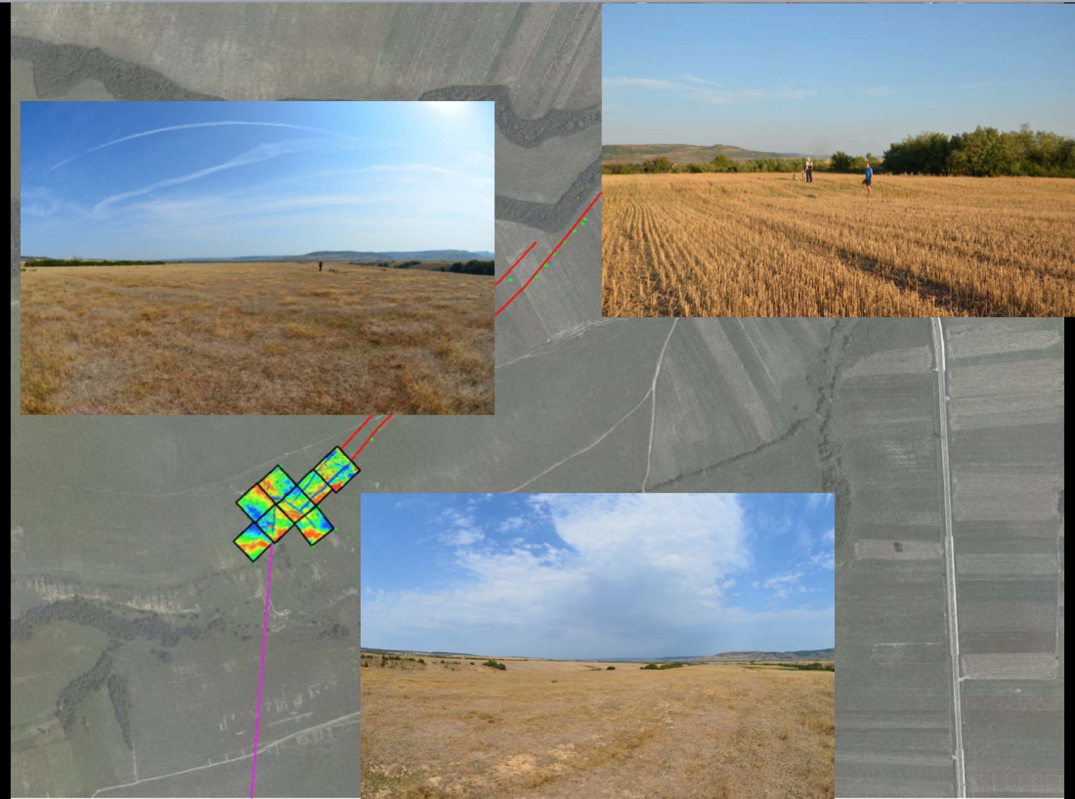
The project debuted on 01.06.2012 with its first main objective, called A brief knowledge in a model form for every monument with the non-invasive methods. Establishing the route of the limes. Documenting the landscape.
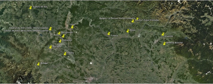
The structure of the limes consists of a complex system of towers, turf walls, stone walls, small scale fortifications, the forts placed behind the frontier line at about 5 km in depth, their civil settlements and the non-Roman structures. No trench has been identified in front of the turf walls. The forts look broadly identical, garrisons of auxiliary infantry, cavalry or mixed units, probably built by themselves. In patches the turf wall is very clearly visible, almost to its original size. The features of the limes are best preserved around the area of Porolissum.
In Romania more than 70 forts are known, together with about 50 small fortifications and more than 150 watchtowers, although their number must have been significantly larger. From among the forts, only four or five are accessible to the public but no portion of wall or tower. In most of the sites the limes is no longer visible and thus hard to identify.
Topographically the limes is partially protected, none of its elements being in urban areas. However only a small part is public property, therefore many sectors are endangered due to intensive ploughing. In most of the cases the stones were used to the building of the villages, churches or medieval castles. Most of the stretches run in forested areas and are affected by forestry. Old paths or roads also cut the line of the limes in some places.
According to tile-stamp discoveries we can assume that the towers, even the entire limes were built by the garrisons of the forts in the vicinity, although the archaeological finds are very scarce. The towers have a circular or rectangular layout, are built of either stone or timber and some of them are researched in the 70's. In some area an artificial line of defence made of turf was discovered, sometimes doubled by a stonewall. On the other hand the wall was not archaeologically researched, its structure being unclear. A stonewall was identified only in the vicinity of Porolissum. Were passageways or accessible areas occur, some small-scale fortifications were built. They are attached to the limes wall, but stand a bit inside to the turf walls, likewise the towers. In the same passageways were erected the walls, but in the last years these line were also identified on plateaus. The succession of towers seems to be logical, but in fact they stand in a network, placed according to the terrain and visibility requirements. These are features of the northern and north-western frontier, the rest are not so well-known.
In the eastern part of Transylvania the frontier must have been similar, in the vicinity of the forts being also some towers present, but until this time no artificial barrier or small fortifications has been identified. When exiting the mountains, towards south, the frontier has been established on the river Olt, flowing into the Danube, with smaller forts or fortlets. For short periods of time, starting with the reign of Hadrian, and then in the time of Caracalla, an artificial line was used, 235 km long, from the Danube to the mountains (Bran Pass), made of turf wall, at about 10 to 50 km east to the Olt. Sadly, it is very badly preserved. This line has also watchtowers, 10-50 m behind the turf wall, and twelve forts, of which four double forts. The western frontier's layout is very unclear, no actual watchtower being identified south to Bologa, with one exception. This is why its trace is only presumed on the line of the forts in the most western part of the province, corresponding to its main axis, the imperial road Drobeta - Porolissum.
We therefore have seven types of limes:
- Banat (W) - from the Danube to the north imperial road supervised by auxiliary forts - to Micia.
- Apuseni Mts. (W) - only a fortlet and the mining settlements.
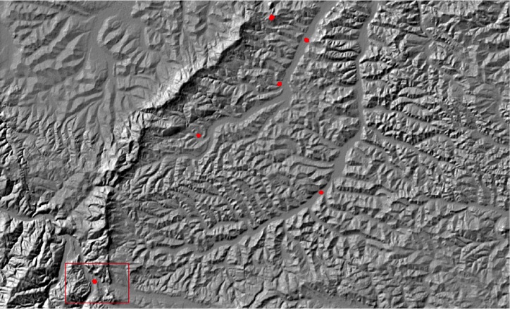
- Bologa - Tihau (NW) - hilly area, complex limes towers, turf and stone walls, forts, fortlets.
- Tihau - Livezile (N) - similar to the previous, but with no artificial barrier.
- Livezile - Bretcu (E) - alpine area - forts, towers, barely traces of turf wall.
- River Olt (SE) - supervised by forts and fortlets.
- Limes Transalutanus (SE) - an actual limes, similar to the ones in Germania and Britannia - artificial turf wall supervised by forts and fortlets.
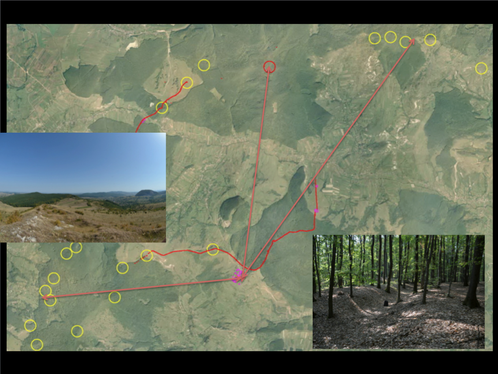
The first contribution to the research of the Dacian limes came after the mid 19th century, when C. Torma identified the elements of the northern frontier: towers, fortlets and wall portions. Although he does field walks only in the areas of Bologa and Porolissum, he assumes that the entire western frontier is the same. He also excavated the turf wall in some places, concluding that it has no stone core, and assumed the advanced fort of Poieni. Th, Mommsen and A. von Domaszewski disagree with the idea of an artificial fortification line, assuming the application of the Tallsperen system, and consequently this idea is abandoned (T. Ortvay and Fl. Roemer). Under these influences, when excavating the first Roman watchtower, at the beginning of the 20th century, G. Finaly doubts its Roman features, in spite of the finds. The way of Torma is followed since 1910 by A. Buday, who identifies his predecessor's finds and covers a broader area, towards Porolissum, therefore becoming one of his supporters. E. Fabricius comes in the same way, emphasising the idea of a continuous turf wall since the north of the province to the Danube. In the interwar period, C. Daicoviciu walks the same area and finds that except for some portions, there is no continuous limes line. By 1940, A. Radnoti uses in premiere aerial photography for the identification of the frontier in the area of the Meses Mts., again arguing unsuccessfully for a continuous limes. Between the 40's and the 60's the limes matter was taken over by I. Ferenczi, who identified many new features and considers also the terrain's geomorphology. He agrees with C. Daicoviciu concerning the continuity of the artificial barrier. The research was basically field walks, no archaeological research, and the area covered went from Porolissum to Bologa and later to Ilisua. Beginning with 1965 N. Gudea started tracing the matter of the Dacian limes, who also excavated some of the towers. He agrees in principle with Ferenczi, but adds fresh knowledge.
The dissemination of the results was made during several international meetings. The first of them the congress of Virtual Archaeology, St. Petersburg, Rusia, in June 2012, second the, 22nd International LIMES Congress, Ruse, Bulgaria, in September 2012, and finally the congress for Archaeological Prospection, in Vienna, May 2013. The results will be published in the proceedings of these congresses.
Also the project team has held presentations for the officials of the County Council of Cluj and the Local Council of Bologa, for the better understanding of the matters connected to the limes by high officials.
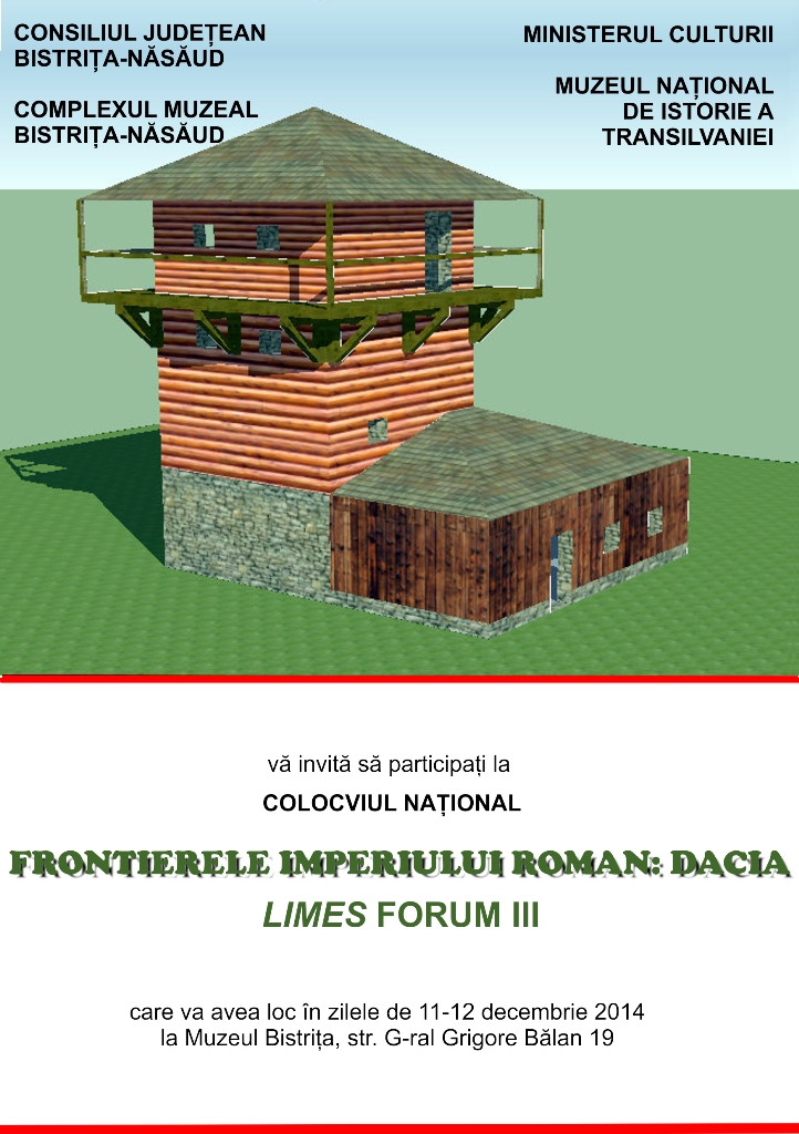
All came in place with a workshop in late November, in Cluj-Napoca, Limes Forum, to which all the researchers interested in the subject have taken part, also with some of the most renamed specialists in Europe, in the purpose of elaborating a long-term management plan for the Dacian limes.
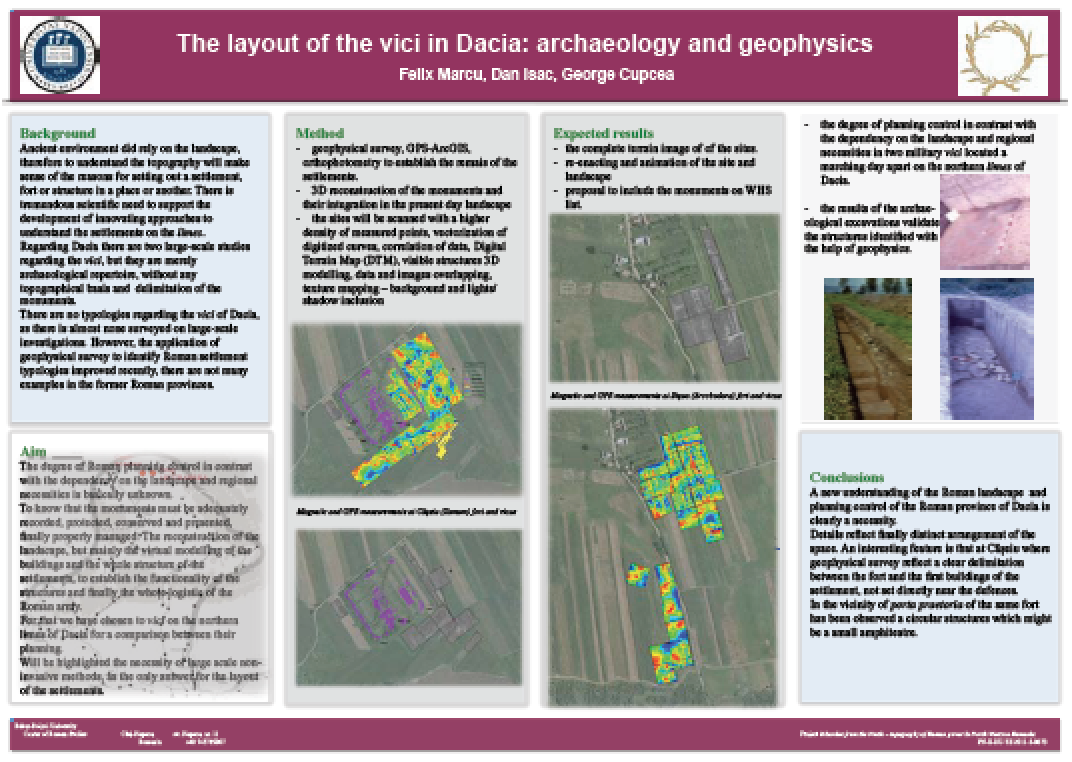
The year 2013 brought the second phase of the project, called Completion and Editing. Dissemination. The need occurred to develop the research on two branches, one of which explored the limes sectors of the counties of Cluj and Bistrita-Nasaud, through extensive field research, to identify the frontier line on the field. The second regards the extensive research in large fortifications and surrounding sites.
The results were encouraging, and they were subsequently developed and presented in several international conferences and studies already accepted for publication or published in important ISI or ERIH publications abroad.
2014 was the year of the third stage, called Drawing the map, creating the database, integration and valorification. Efforts were focused on dissemination and publishing of the results, as well as on developing a management plan for the limes as a future monument of the UNESCO - WHS tentative list.
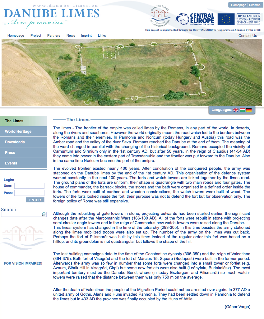
In the latter sense, by participating at the final conference of the Danube LIMES Brand European project, which took part in Bucharest and Ruse, the project team was invited and granted support officially by the Bratislava Group, for the institutional organization of the efforts in this sense. The members of the international initiative group involved in this were impressed by the evolutions, potential and determination of the team, in this valuable field of research.
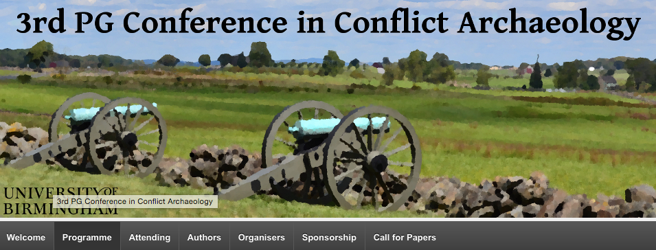
The project results were also presented at the 3rd PG Conference in Conflict Archaeology, which took place in Birmingham, in November 2014 and also in a series of internal scientific meetings.
They will all culminate in December, with the so-called LIMES FORUM, a meeting initiated by the team during the project, which will take place for the third time now.
Dr. George CUPCEA